Mthatha · Eastern Cape
Mthatha Flood Risk Intelligence
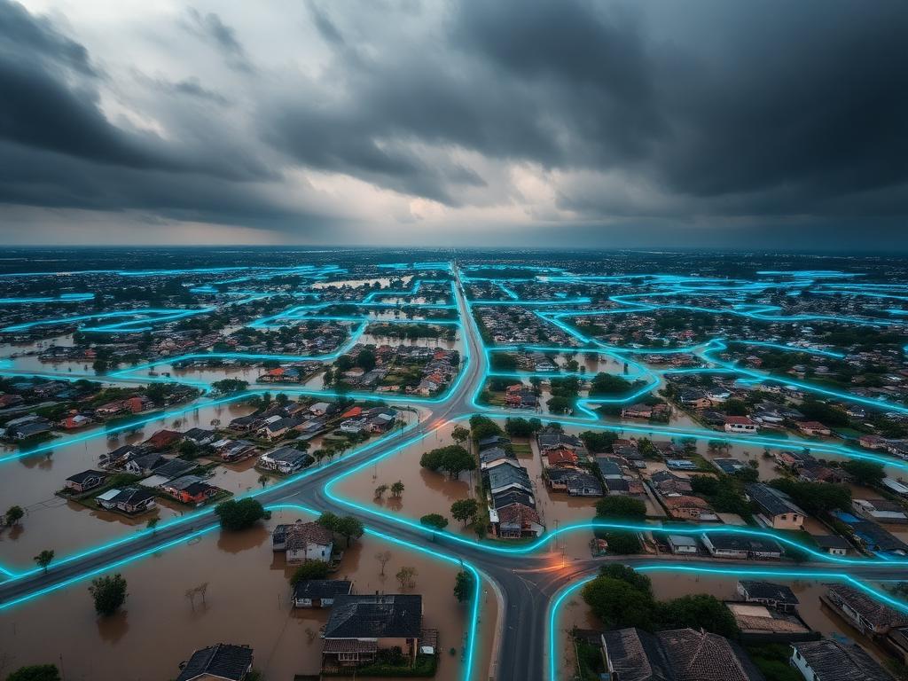
Predictive flood-risk surfaces and exposure mapping for vulnerable settlements after the 2022 floods.
We provide geospatial intelligence, environmental monitoring and spatial planning that empower governments, municipalities and communities to make informed decisions for a sustainable future.
Born in the Eastern Cape after the Mthatha floods and Bongweni infrastructure demolitions, Amamfengu Lifestyle Group exists to put accurate spatial intelligence and predictive planning in the hands of the people who need it most.
Environmental and climate-related insights to support planning, risk management, and sustainable development.
Advanced Geographic Information Systems to analyse, visualise and interpret spatial data.
Tracking environmental conditions, land use change, ecosystem health and climate impacts.
Spatial intelligence for hazard identification, vulnerability assessment and disaster preparedness.
Evidence-based planning for municipalities, organisations and communities.
Predictive flood-risk surfaces and exposure mapping for vulnerable settlements after the 2022 floods.
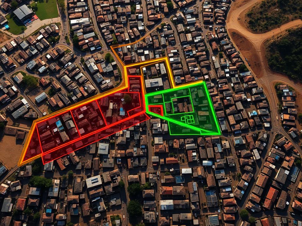
Post-demolition spatial planning to support dignified, resilient resettlement.
Community-led vulnerability assessment and adaptation pathways for a high-density township.
We transform complex environmental and spatial data into actionable insights.
Our work is rooted in the challenges experienced by real communities.
We help organisations prepare for and respond to environmental risks.
GIS, mapping, environmental analytics and modern digital tooling.
We work with municipalities, research partners and development organisations across South Africa.