Mthatha · Eastern Cape
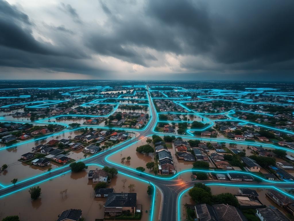
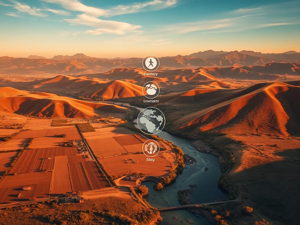
Mthatha Flood Risk Intelligence
Predictive flood-risk surfaces and exposure mapping for vulnerable settlements after the 2022 floods.
Active and recently delivered projects across the Eastern and Western Cape.
A cinematic look at the landscapes, communities and questions shaping our current work.
Predictive flood-risk surfaces and exposure mapping for vulnerable settlements after the 2022 floods.
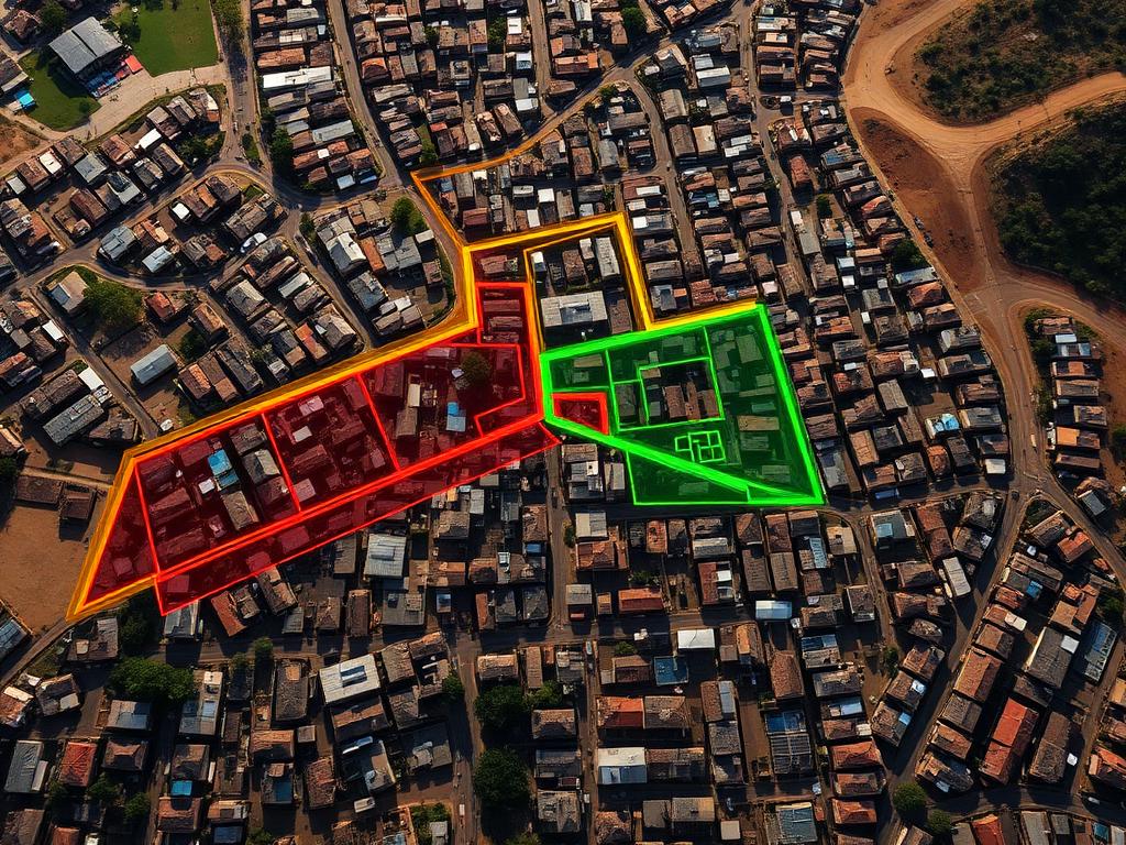
Post-demolition spatial planning to support dignified, resilient resettlement.
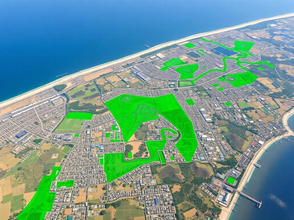
Mapping urban green cover, heat islands and ecosystem services across the metro.
Community-led vulnerability assessment and adaptation pathways for a high-density township.
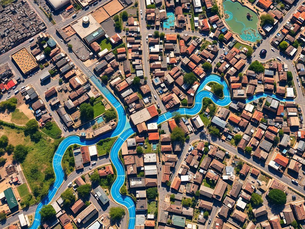
Time-series remote sensing of land cover change across surrounding municipal areas.